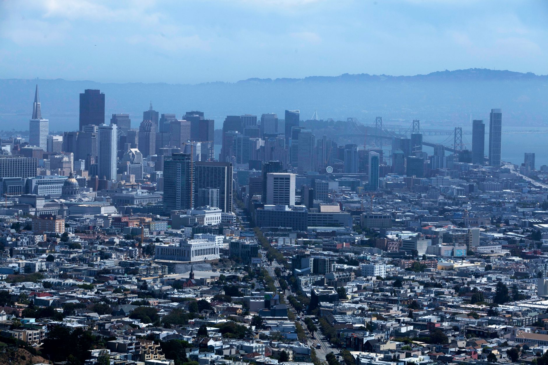
An atmospheric river hit the San Francisco Bay Area on Wednesday, Nov. 18, 2026, flooding freeways and neighborhood streets, knocking out power to nearly 19,000 customers and setting a daily rainfall record in downtown San Francisco.
An atmospheric river is a narrow band of concentrated water vapor in the sky that can unload a season's worth of rain in a day or two. The damage was concentrated where water could not drain fast enough: low-lying San Francisco neighborhoods, several freeway stretches, and North Bay towns along creeks and the bay shore. More flooding is forecast for the days ahead, which makes this a practical question for renters, homeowners and small business operators rather than a closed weather story.
Table of Contents
- What the storm did, hour by hour
- Which neighborhoods and counties took damage
- What the city did, and what residents are asking for
- More water is coming this week
- Documenting damage to a home or business
- Frequently Asked Questions
What the storm did, hour by hour
The system arrived Wednesday morning with heavy rain, damaging winds, highway flooding and thousands of outages across the region, CBS San Francisco reported. Downtown San Francisco broke its Nov. 18 rainfall record, which had stood at 2.24 inches since 1918. CBS put the final total at 2.64 inches — the city's sixth wettest November day — while Bay City News and ABC7 reported 2.31 inches.
The daily total is not the number that explains the flooding. About 1.73 inches fell on San Francisco in just three hours, according to AccuWeather rainfall data, and street drainage is not built for that rate. A storm drain sized for a steady winter rain backs up when the same volume arrives in a morning. Freeways went first. The California Highway Patrol reported more than a foot of water in the southbound lanes of Interstate 280 near Geneva Avenue around 10:35 a.m., and ABC7 tracked several other Bay Area freeways blocked by flooding or debris that morning.
Which neighborhoods and counties took damage
In San Francisco, flooding of a foot or more reached the Mission, the Sunset, Hayes Valley and Japantown. A Hayes Valley coffee shop and a Japantown bakery were damaged, and firefighters rescued two people after a crash on a flooded stretch near Alemany and Bayshore boulevards, according to CBS San Francisco. The North Bay was under a flood advisory covering parts of Marin, Napa and Sonoma counties, including Santa Rosa, Petaluma, San Rafael and Novato. Gauges in the hills of northwestern Sonoma County passed 3.5 inches before 9 a.m. Central Marin police warned of flooding in Larkspur and Corte Madera. Power was the other widespread loss.
PG&E counted 18,880 Bay Area customers without service at 10:30 a.m. and more than 14,800 at 4 p.m., over 10,000 of them in the East Bay, with at least 150 crews working. Outages were down to roughly 3,500 by Thursday. Beyond the Bay Area, the same system closed Interstate 80 over the Sierra under avalanche warnings. Highway 1 along the Big Sur coast reopened Friday, Nov. 20, after a two-day closure for post-fire debris-flow risk.
What the city did, and what residents are asking for
San Francisco deployed flood barriers and distributed about 35,000 free sandbags, capped at 10 per resident, while Public Works crews cleared roughly 80 storm drains. Those are the two levers a city has in the hours before a storm: block water at doorways and keep the drains that exist from clogging. Residents in the Mission and the Marina are now pressing the city for changes before the next storm, ABC7 reported.
Both neighborhoods sit low — the Mission over a filled creek basin, the Marina on fill — so they flood from the same storms repeatedly, which is why the complaints are about infrastructure rather than this one event. For a resident, the useful takeaway is timing. Sandbags are distributed before a storm, not during one, and a drain that is already clogged on the morning of the rain will not be cleared in time to help.
More water is coming this week
King tides begin Sunday, and forecasters expect them to combine with Thanksgiving-week rain to flood low-lying, coastal and bayside parts of Marin again, per CBS San Francisco. King tides are the year's highest tides, when the sun and moon line up; they raise the baseline the bay sits at, so rain that would normally drain has nowhere to go.
📨 Get Free California Guides Alerts
Free · No spam · Unsubscribe anytime
Flash flooding also remains a concern in recent burn scars. Ground stripped of vegetation by fire sheds water instead of absorbing it, which is the same risk that closed Highway 1 at Big Sur for two days. If you are in one of those areas this week:.
- Check whether your address is bayside or in a recent burn scar — those two conditions, not rainfall totals, predict who floods.
- Collect sandbags during the dry stretch before the next system, while distribution sites are open and stocked.
- Photograph any damage from Wednesday now, with dates, before repairs begin.
- Treat a flooded roadway as closed even without a barrier; a foot of water on I-280 was enough to stop traffic and prompt a rescue elsewhere in the city.
Documenting damage to a home or business
Wednesday's damage pattern — water into ground-floor retail, like the Hayes Valley coffee shop and the Japantown bakery — is the kind that turns into an insurance or assistance question weeks later. Standard homeowner and commercial property policies generally exclude flood damage, which is covered separately, so the first thing to establish is which peril caused the loss. Water entering through a wind-damaged roof is treated differently from water that rose off the street. Renters have a narrower claim and a clearer one.
A renter's policy covers damaged belongings, not the building, and a landlord's obligation to repair runs to the structure and habitability. Keep the written repair request and the date you sent it, because that record matters more later than the phone call does. Business interruption is the loss most often missed. If you closed for a day or two, log the dates, the lost revenue and any spoiled inventory while the detail is fresh — an estimate reconstructed in January is worth less than a note written this week.
Frequently Asked Questions
Why did San Francisco flood when the total was under three inches?
Rate, not total. About 1.73 inches fell in three hours, far faster than street drains can carry away, so water pooled on streets and freeways.
Are power outages still widespread?
No. PG&E outages peaked near 18,880 customers Wednesday morning and fell to about 3,500 by Thursday.
Is Highway 1 at Big Sur open?
Yes. It reopened Friday, Nov. 20, after a two-day closure for post-fire debris-flow risk.
Where is flooding expected next?
Low-lying, coastal and bayside parts of Marin, from king tides beginning Sunday plus Thanksgiving-week rain, along with flash flooding in recent burn scars.