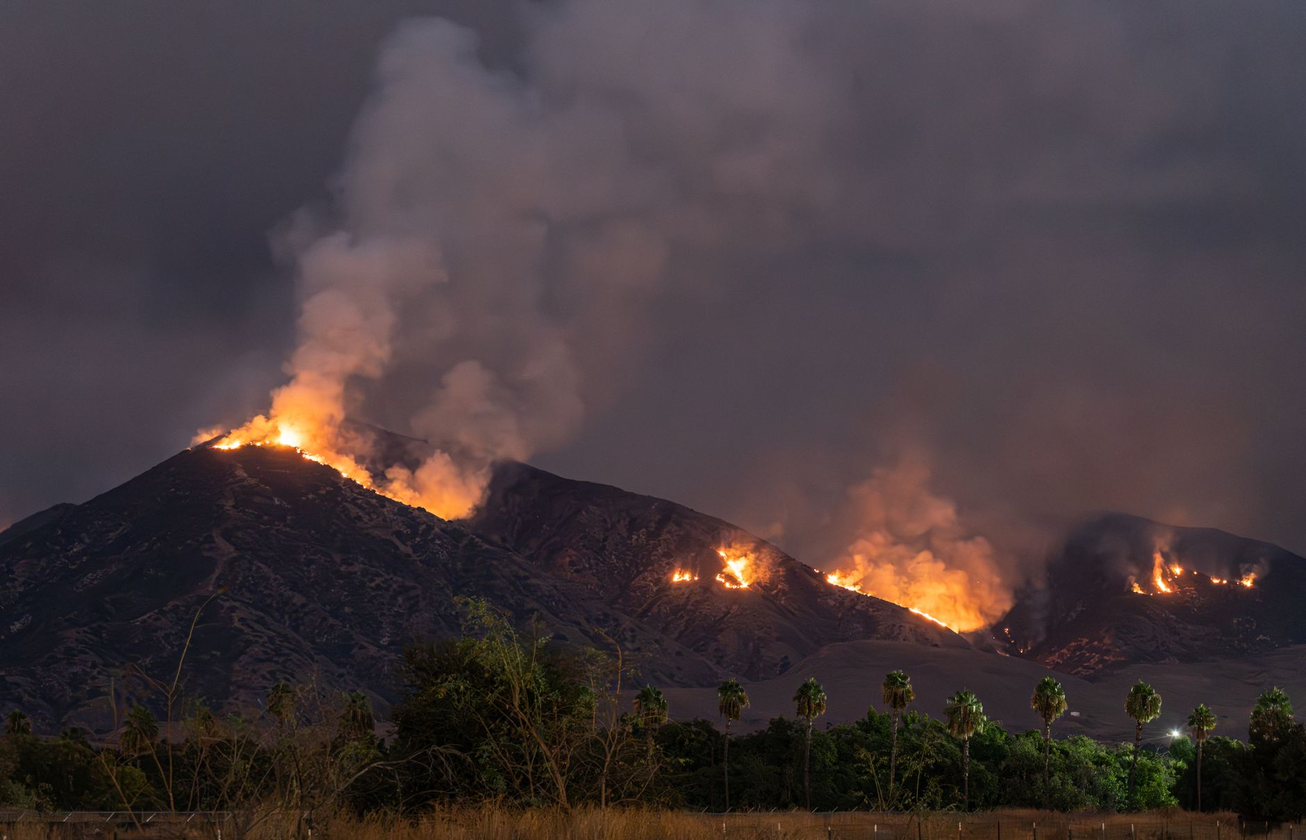
Some properties in Vacaville in Solano County now sit in adopted Moderate, High or Very High fire-hazard zones. Those fire-hazard zones — state ratings of long-term wildfire potential — trigger brush-clearance, building and property-sale disclosure duties, with an added ember-zone rule for Very High parcels. Local Responsibility Area maps cover places where cities and local agencies handle fire protection rather than the state. The state fire marshal bases ratings on fuel, slope, weather and fire history.
Official resource:
- Read the official guidance from Citizenportal — Use this primary source to verify the official guidance.
Table of Contents
- Which Solano County addresses are affected?
- What does a High or Very High rating require?
- What is the new 5-foot Zone 0 rule?
- What the maps do not decide
Which Solano County addresses are affected?
Vacaville posted the new CAL FIRE Local Responsibility Area maps for public review as required by Government Code Section 51178.5. The review covered Solano County addresses inside Vacaville city limits. City staff then introduced an ordinance on May 27, 2025 to adopt the state-recommended map without changes.
Staff forwarded all public comments to the State Fire Marshal on June 2, 2025, according to the City of Vacaville staff report in the Granicus meeting record. The council approved the ordinance June 10, 2025. Affected areas reported include Lagoon Valley, Brown's Valley and southern and western city borders, according to the CitizenPortal meeting record in the summary of the June 2025 Vacaville vote.
What does a High or Very High rating require?
A High or Very High designation in Solano County triggers 100-foot defensible-space duties under Public Resources Code 4291. It also triggers ignition-resistant construction standards and wildfire disclosure when selling property, according to CAL FIRE guidance described in the CRMLS disclosure guide. For residents, that means keeping brush, dead plants and other fuels back from structures.
It also means buyers must receive notice that a home is in a mapped hazard area. Renters should ask landlords or managers who handles required clearance. Home shoppers should read the wildfire disclosure and check the parcel map before making an offer.
📨 Get Free California Guides Alerts
Free · No spam · Unsubscribe anytime
What is the new 5-foot Zone 0 rule?
Zone 0 is an ember-resistant area within 5 feet of a structure. On Aug. 19, 2026, the California Board of Forestry and Fire Protection voted 8-0 to adopt Zone 0 rules for about 2 million homes in Very High zones and State Responsibility Areas, according to E&E News by Politico in the report on the August 2026 board vote.
The rule calls for strict fuel control next to buildings. That includes no plants within 1 foot of homes and no combustible mulch, firewood, dead vegetation or wood chips within 5 feet. Practical steps for affected Very High parcels include:.
- move firewood and bagged mulch at least 5 feet from walls, decks and fences touching the home
- replace wood chips near the foundation with noncombustible cover
- pull dead plants and weeds from the first 5 feet and trim live plants out of the first foot
What the maps do not decide
The maps measure long-term hazard potential from physical conditions. They do not account for defensible space, fire-resistant construction or firefighting capability. Officials also say the maps are not the direct basis for insurance decisions.
A low rating does not promise safety, and a high rating does not predict an imminent fire. Residents can use the Vacaville parcel map to confirm a designation, then focus on required clearance and sale paperwork. Keep copies of clearance work, contractor receipts and disclosures for insurance, rental and sale files.
You Might Also Like
- Wood Fire in Riverside County reaches 95 percent containment
- Sorrento Fire in San Diego County approaches full containment
- Hawk Fire prompts evacuation warnings for Sierra County