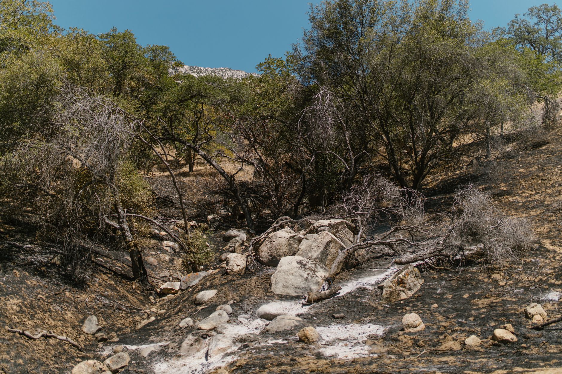
The Game Fire was reported in Kern County on Wednesday, August 26, 2026. The first report was logged at 2:39 p.m.
local time. The available incident record confirms the report but does not yet provide the fire's acreage, containment, or cause. Those details should be treated as unknown rather than zero.
Table of Contents
- Where was the Game Fire reported?
- What is known about its size and containment?
- Has a cause been identified?
- How should readers interpret the early report?
Where was the Game Fire reported?
The Awatch/Korvid Labs incident page places the recorded origin at 35.085° N, 118.635° W. That point is about 1.3 miles east of Stallion Springs and 6.7 miles south of Bear Valley Springs.
Those are the closest named communities in the supplied record. Residents near either community should use the coordinates—not only the incident name—when comparing later notices or maps.
What is known about its size and containment?
No acreage was reported in the incident record. Without an acreage figure, readers cannot responsibly judge the fire's size or compare it with other incidents.
📨 Get Free California Guides Alerts
Free · No spam · Unsubscribe anytime
The record also provided no contained share of the perimeter. This means containment was unavailable, not necessarily that the fire was zero percent contained.
Has a cause been identified?
The Awatch/Korvid Labs record listed the cause as undetermined. The available evidence therefore does not establish how the fire started. Readers should avoid treating speculation about equipment, lightning, vehicles, or human activity as confirmed unless a later incident record identifies a cause.
How should readers interpret the early report?
No satellite heat had yet been attributed to the Game Fire. That does not disprove the report; a new or small fire may not register during a satellite pass.
The underlying location data come from operational records. The National Interagency Fire Center's WFIGS description says incident-location data originate in the IRWIN interagency system and refresh every five minutes, so details can change as responders update the record. Before making a travel, housing, or safety decision:.
- Check whether a newer record adds acreage or containment.
- Match updates by coordinates and nearby communities, not just the fire name.
- Treat the cause as unknown until the incident record changes.
- Do not interpret missing satellite heat as proof that no fire exists.
You Might Also Like
- Pass Fire Reported Burning in Ventura County on August 26
- Wintun Fire burns in Yolo County on August 26
- Stony Fire Reported Burning in Colusa County