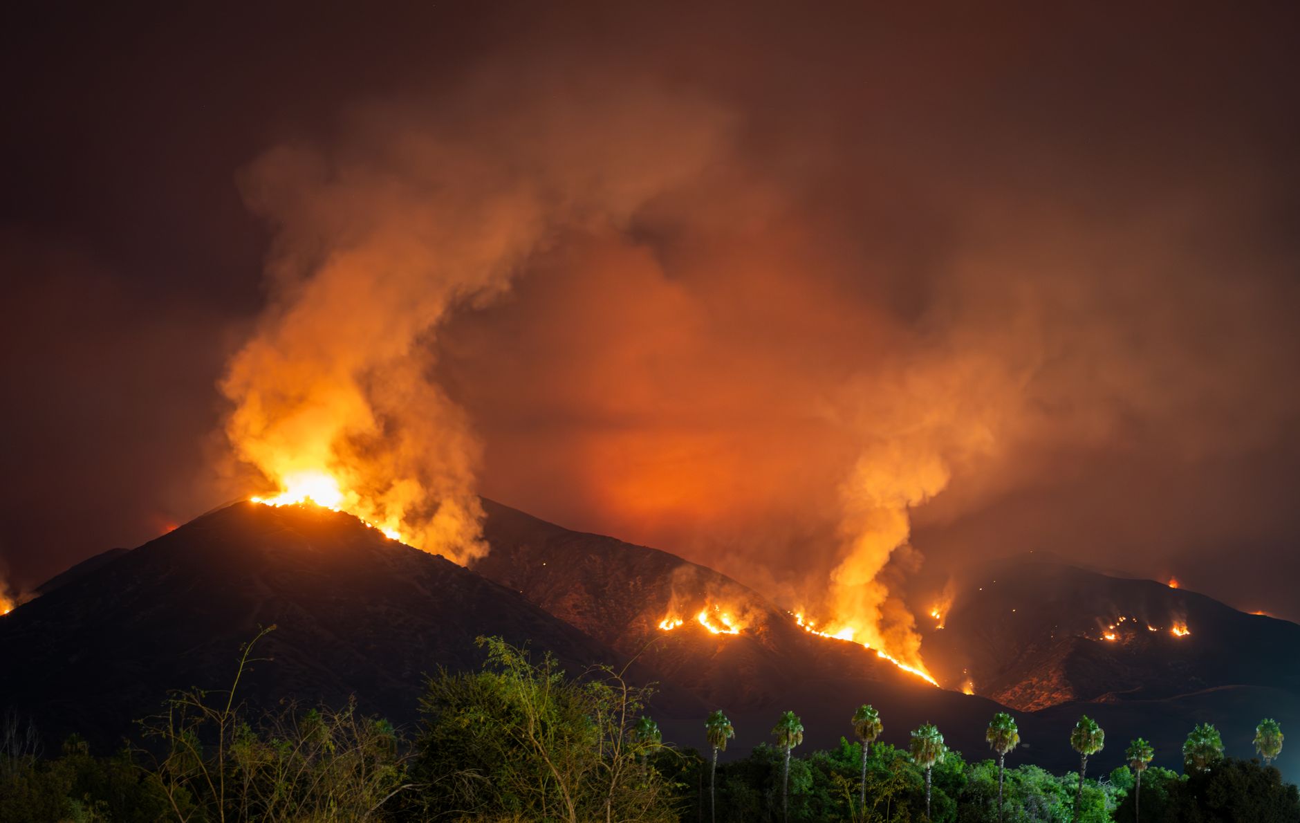
The Lower Fire is the name attached to a new wildfire reported in Amador County at 10:25 a.m. PDT on August 24, 2026.
The initial record placed it on federal land and listed 0.01 acre burned, but those details are preliminary. The record also listed 0% containment and an undetermined cause. It did not provide a more precise public location or establish what happened after the initial report.
Table of Contents
- What the initial report confirms
- Why detailed information may be unavailable
- Which agencies may respond
- What residents should do
What the initial report confirms
FireShield Wildfire News reported the incident under the name "LOWER," using National Interagency Fire Center data.
Here Is What It Does.”>its
Why detailed information may be unavailable
The FireShield item was generated from an automated third-party feed. It warns that information may be incomplete, delayed or outdated, so readers should not treat its acreage, containment or location as a live operational update. The lack of a detailed state incident page does not disprove the report.
CAL FIRE says fires under 10 acres generally do not receive information on its incidents website, and the Lower Fire initially measured far below that threshold. An initial 0% containment figure does not, by itself, show that a fire is spreading. Likewise, an "undetermined" cause means the initial record did not identify a cause; it does not establish how the fire started.
📨 Get Free California Guides Alerts
Free · No spam · Unsubscribe anytime
Which agencies may respond
Amador county explains that the CAL FIRE Amador-El Dorado Unit normally provides primary wildland-fire response within the county's State Responsibility Area. Local fire districts primarily handle structure fires.
The Lower Fire record instead placed the incident on federal land. That distinction may bring federal fire partners into the response and helps explain why information might not appear through a single state or local agency.
What residents should do
A county-level location is not precise enough to determine whether a specific home, road or workplace is near the fire. Residents should base travel or safety decisions on current official notices, not the initial 0.01-acre figure alone.
Practical steps include: That final restriction applies beyond this incident. The Amador County Air District says outdoor residential debris burning is suspended and all outdoor fires have been prohibited since June 15, 2026.
- Treat the reported acreage and containment as preliminary.
- Follow direct instructions from emergency officials if any are issued.
- Call 911 when smoke or flames present an immediate danger.
- Do not conduct outdoor residential debris burning.
You Might Also Like
- South Beach Fire Reported in Del Norte County on August 24
- Grade Fire reported in Calaveras County August 24
- Wheeler Fire status update issued for Inyo County August 12