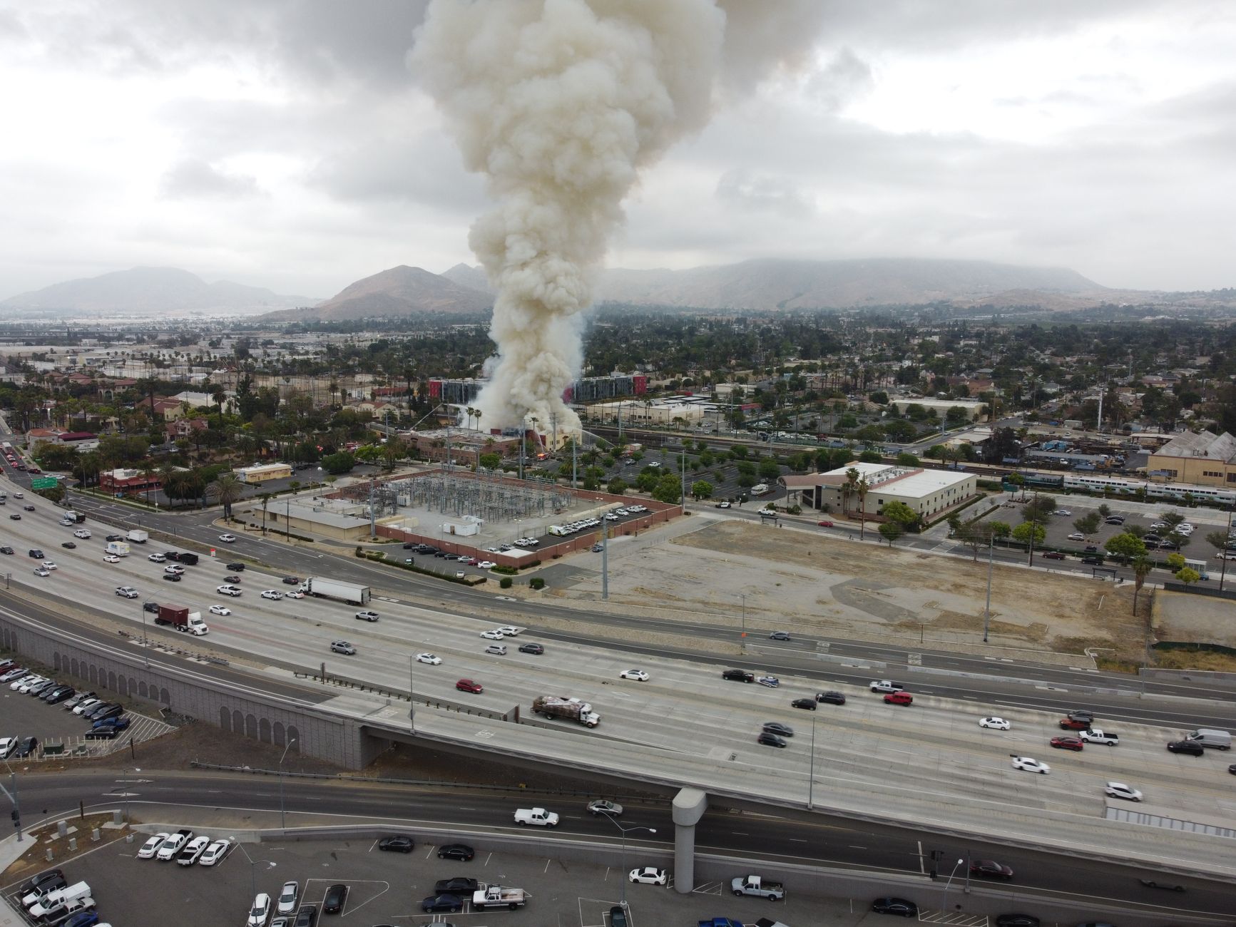
The Tiptop Fire was reported in Mariposa County on Wednesday, August 26, 2026, as a newly entered interagency wildfire incident. The available record does not establish that it became a damaging wildfire or required public protective action.
The incident was logged at 6:01 p.m. local time. Its listed cause was undetermined, and the record did not report a burned area or containment percentage.
Table of Contents
- What is confirmed
- What the record does not show
- No documented public impacts
- What nearby residents and travelers can do
- Why updates may look incomplete
What is confirmed
The Tiptop fire entry identifies a reported point near 37.478 latitude, -119.811 longitude, about four miles east of Bootjack and 6.9 miles northwest of Nipinnawasee. Those locations help residents and travelers understand the general area involved, but they are not an evacuation boundary.
The National Interagency Fire Center data displayed by Awatch lists the incident at 0 acres. That means the available record does not document a measurable burned area, not necessarily that no vegetation burned at all. Awatch's Tiptop Fire incident record.
What the record does not show
No containment percentage was reported. Containment describes how much of a fire's perimeter
Here Is What It Does.”>has
No documented public impacts
The current information does not report evacuations, road closures, threatened structures, assigned personnel, injuries, or a confirmed fire size. Residents should not infer those conditions from the incident name alone.
📨 Get Free California Guides Alerts
Free · No spam · Unsubscribe anytime
Federal wildfire mapping data are useful for locating and tracking incidents, but they are not a complete local emergency-alert system. The National Interagency Fire Center notes that fire perimeters are not available for every incident. NIFC's current-perimeter metadata.
What nearby residents and travelers can do
Treat the Tiptop entry as preliminary unless local emergency authorities issue a specific notice. A map point is not an instruction to leave, shelter, or change travel plans. For practical decisions:.
- Check Mariposa County emergency communications and local fire or law-enforcement notices for evacuation or road information.
- Follow any official warning that applies to your address or route, even if the interagency record has not yet changed.
- Avoid relying on an absent perimeter, acreage figure, or containment number as evidence that there is no local hazard.
Why updates may look incomplete
Incident records can appear before field details, mapped perimeters, or satellite information are available. The federal data service is designed for active incident mapping and is updated continuously, but it does not replace local emergency reporting.
NIFC/WFIGS current-data description The listed cause remains undetermined. Until an agency releases more information, readers should avoid assuming the cause, fire behavior, or level of risk.
You Might Also Like
- Pass Fire Reported Burning in Ventura County on August 26
- Game Fire Reported in Kern County on August 26
- C2 Fire Reported in Lassen County on August 27